スーパー地形 - GPS対応地形図アプリ
by kashmir3d Jan 05,2025
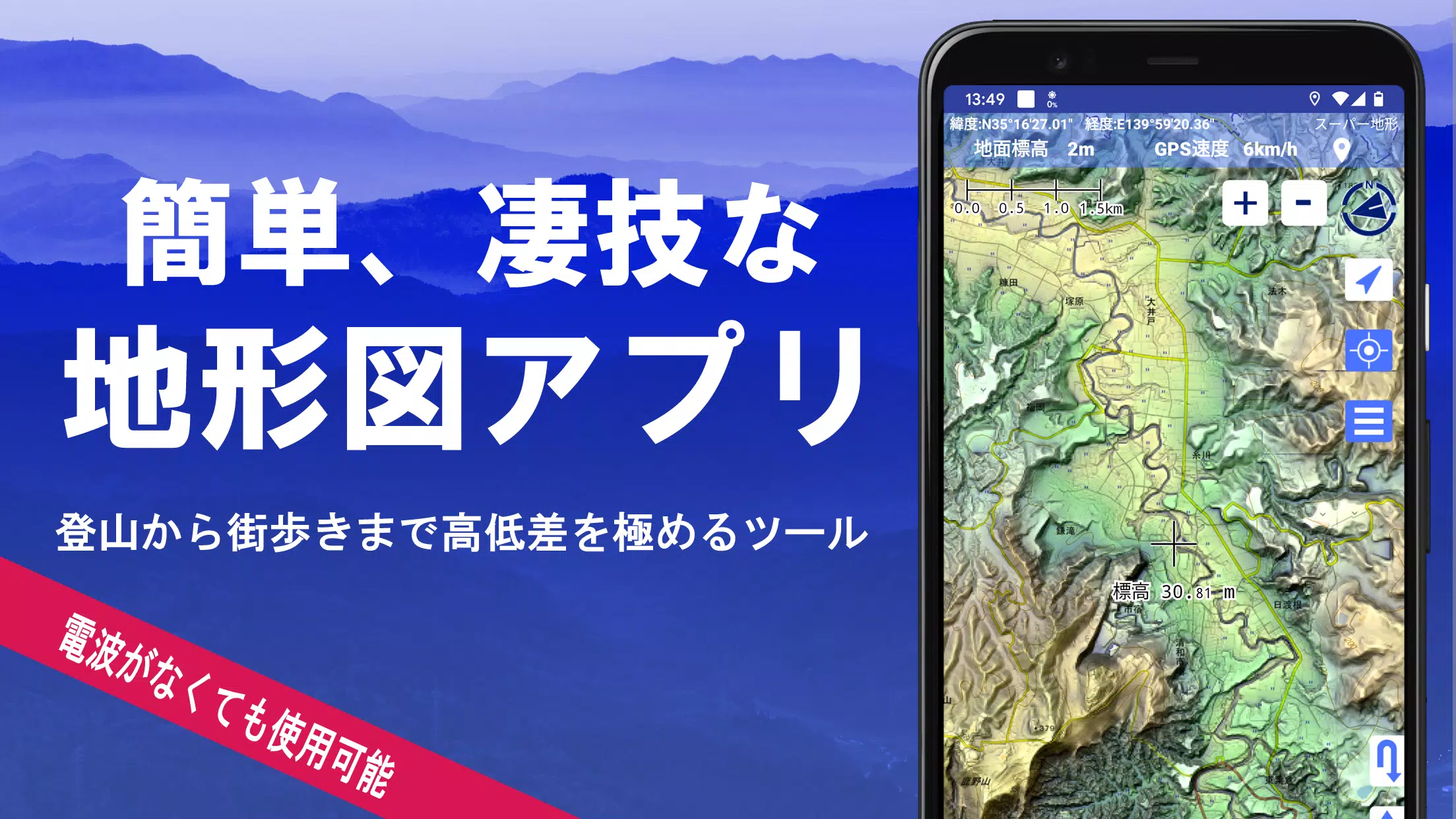
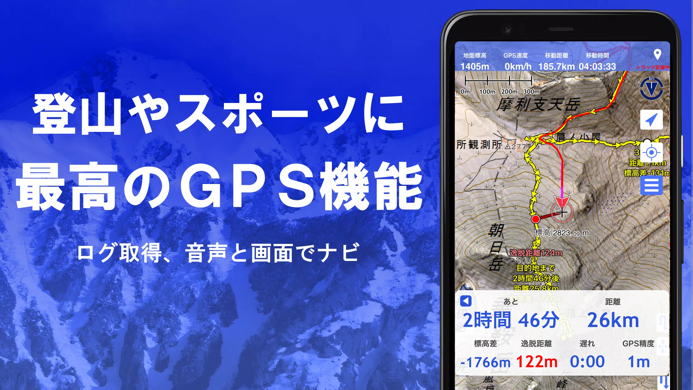
Super Terrain: Your Comprehensive Mapping and Navigation App Super Terrain is a powerful mapping application boasting over 100 map types, including those from the Geographical Survey Institute of Japan. Its advanced features cater to diverse needs, from urban exploration to challenging mountain cli

 Application Description
  Apps like スーパー地形 - GPS対応地形図アプリ