
All-In-One Offline Maps
by Psyberia Jan 04,2025
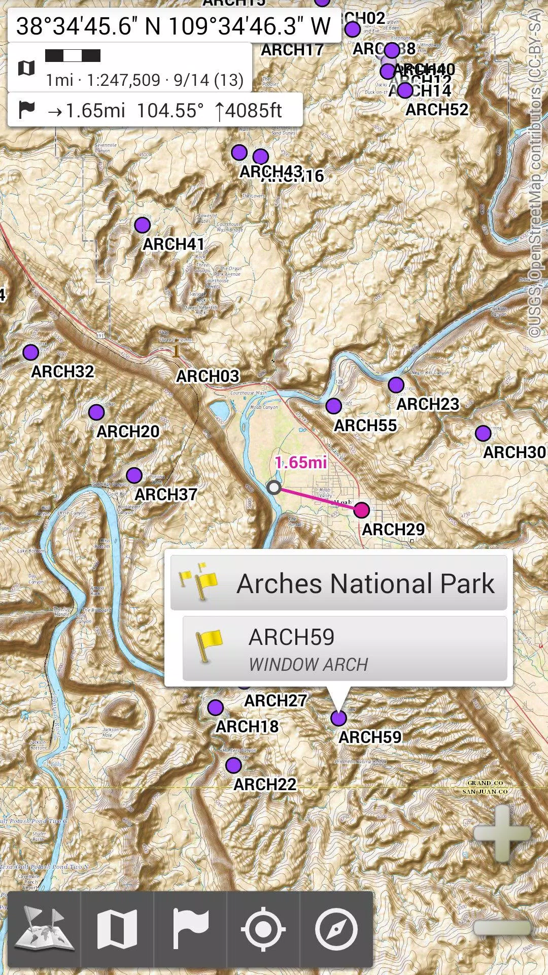
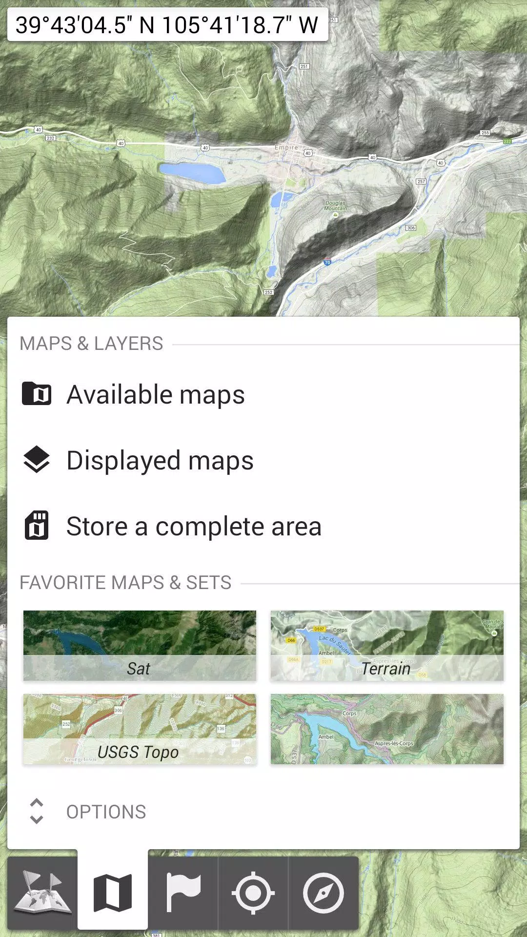
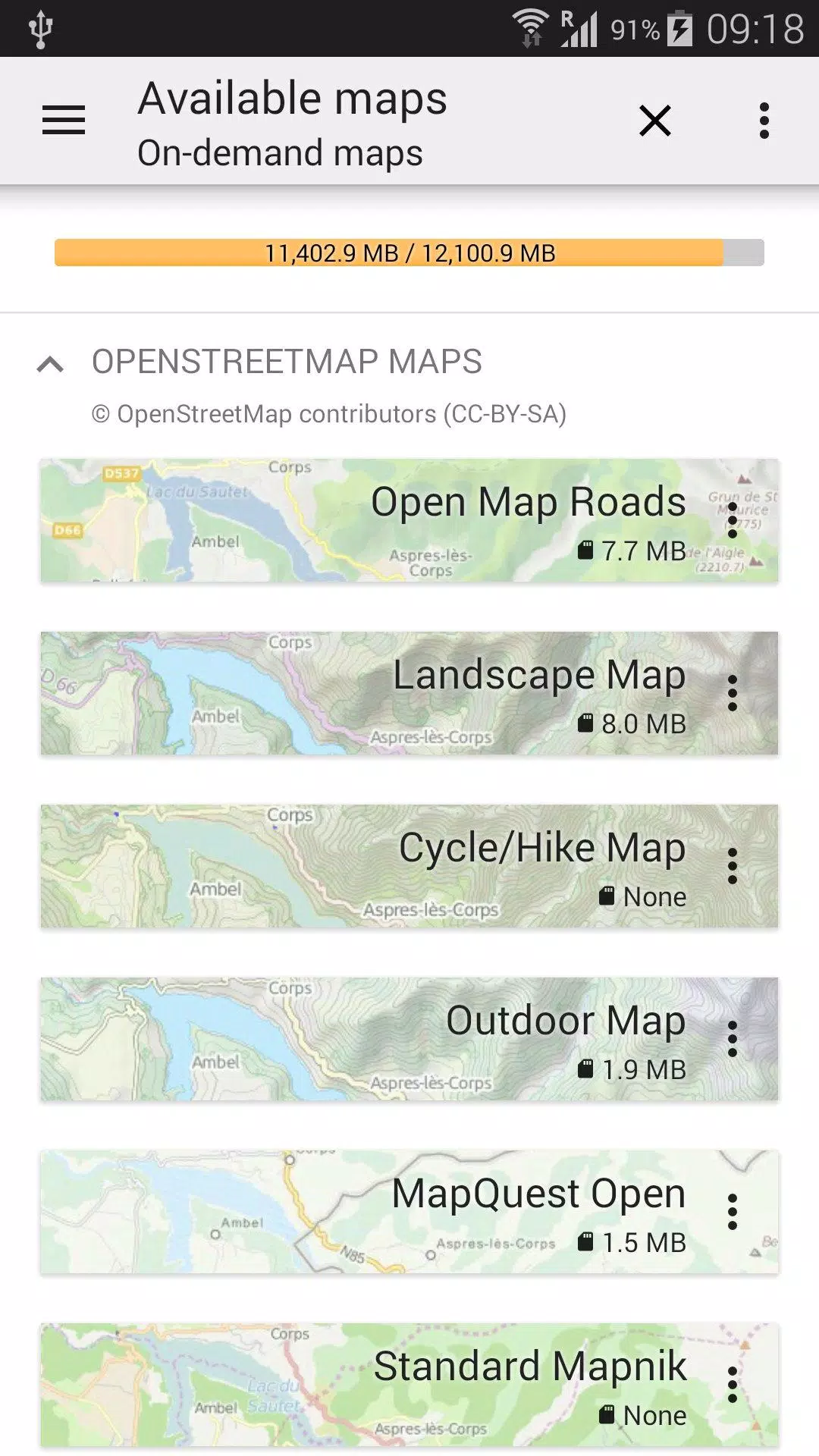
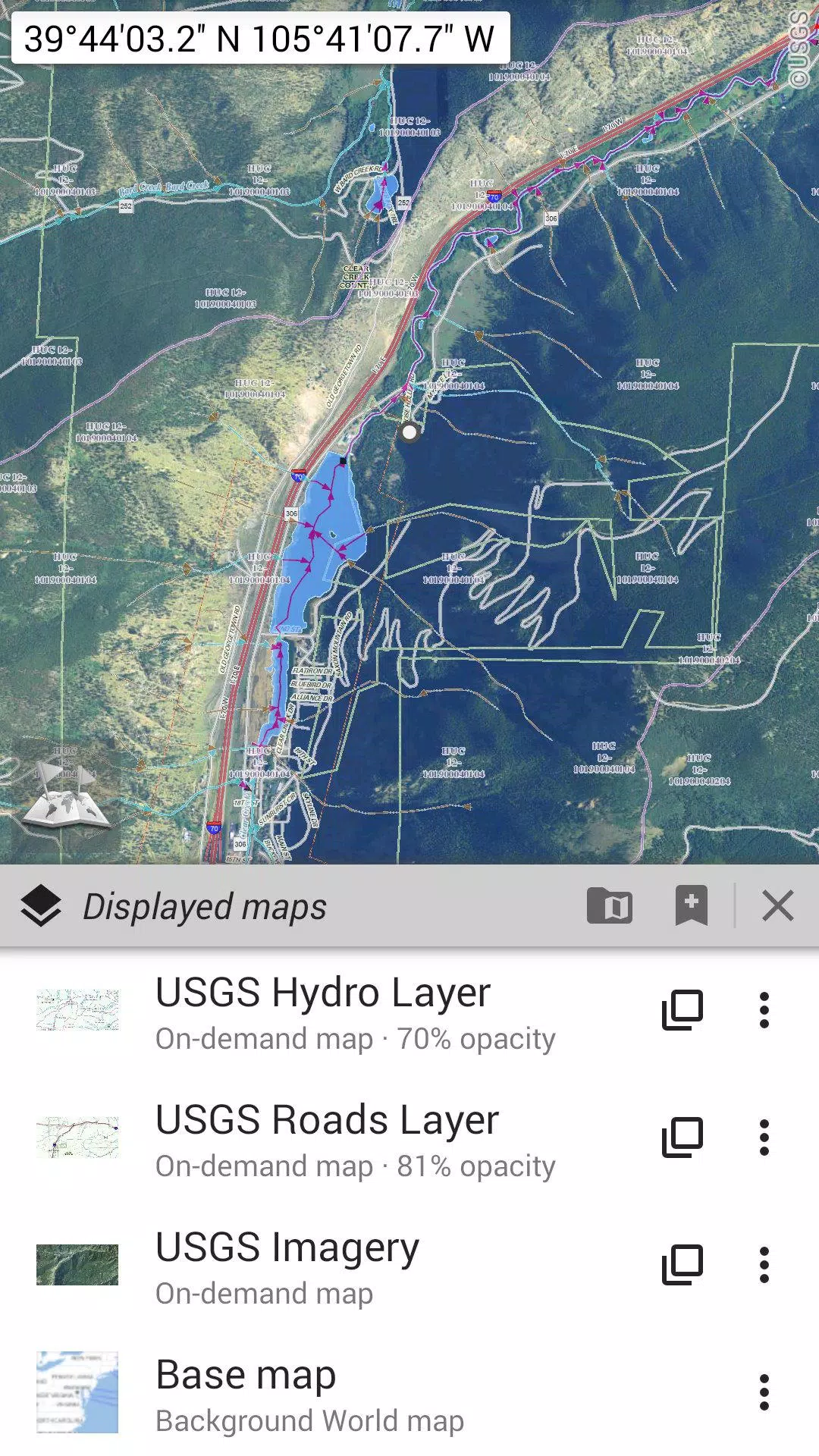
OfflineMaps: Your Offline Navigation Solution OfflineMaps provides extensive map access, completely free from ads, data sharing, analytics, and third-party libraries. Tired of waiting for maps to load? OfflineMaps delivers instant access. Once downloaded, maps are readily available, even without i

 Application Description
  Apps like All-In-One Offline Maps